Ballymalady which is sometimes given in the Irish as Baile Uí Mhaoiléidigh meaning 'O'Melody's Townland'. Extending to over half a square mile or 344 acres situated to the Southwest of Comber out the Ballygowan Road.
Ballymalady contains a number of archaeological sites of significance including a rath dating from between 500-1100AD. In recent years, this rath was partially destoryed before 1999 through local ploughing which destroyed the upper half of the rath meaning that today it is a semicircle rather than a full circle. This is evident in aerial photos of the area which clearly show a semi-circular patch of trees in an otherwise ploughed field.

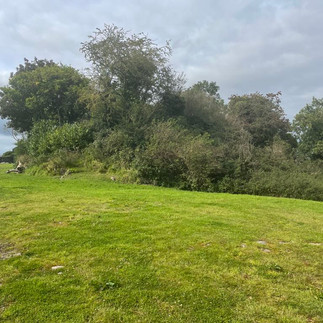
To the Southern border is Ballymalady Motte [DOW010:045] a scheduled Medieval Motte of which substantial remains survive with an Archaeological investigation in 1951 finding pottery dating from the 13th century. A motte is basically the surviving mound which formed the base of castle or camp (diagram included). The photos below, show a typical depiction of a Motte and bailey as well as two photos of Ballymalady Motte taken in 2023, which show that the Motte is quite overgrown and largely obscured.


Comments